Remote Sensing for Precision Agriculture

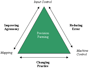
Precision agriculture is generally defined as an information and technology based farm management system that attempts to match the kind and amount of inputs with the actual crop needs for small areas within a farm field. Analyzing and managing variability within fields for optimum profitability, sustainability and protection of the land resource. Precision farming distinguishes itself from traditional agriculture by its level of management wherin instead of managing whole fields as a single unite, management is customized for small areas within fields. Based on "Site-Specific" methods involving treating the smallest possible area as a single element.
Technologies associated with precision agriculture:
-
Remote sensing applications
-
GIS (Geographical Information Systems)
-
GPS (Global Positioning System)
Remote sensor imaging provides high resolution, orthorectified images that are used by Cooperatives, Ag Service Providers (ASPs), Crop Consultants, and growers in order to:
-
Create management zones
-
Evaluate the effectiveness of fertilizer applications
-
View the whole farm/field
-
Perform in-season analysis to make crop management decisions
-
Manage geo-referenced soil sampling
-
Precisely schedule irrigation
-
Scheduling of pesticide applications
-
Find mechanical errors in application equipment
Imaging System enables individuals and companies involved in production agriculture to find trouble areas within a field well before they are visible with the naked eye, thereby providing the ability to take pro-active actions to manage crop health. The utilization of remote sensing, specifically aerial imagery, has shown to provide a positive economic impact on a per acre basis
Precision Agriculture